


Streamlined Sediment and Flood Modeling
STE is a sophisticated software solution designed to model sediment transport and flood dynamics with precision. By integrating advanced modeling capabilities, an intuitive interface, fast simulations, and seamless GIS integration, STE enables professionals and researchers to perform accurate and efficient analyses. Whether you are assessing flood risks, managing sediment transport, or conducting hydrological studies, STE is built to improve the speed, ease, and accuracy of your work.
Core Features of STE
STE combines intuitive design, ensuring effortless data input and user-friendly operation. With advanced algorithms, it delivers precise results every time, all while dramatically speeding up simulations for faster, more efficient analysis.

Sediment Transport Modeling
STE offers comprehensive sediment estimation capabilities, utilizing 92 hydraulic sediment transport formulas for bed load, suspended load, and total load. It also supports sediment load estimation using hydrologic methods, providing accurate results for diverse river systems.

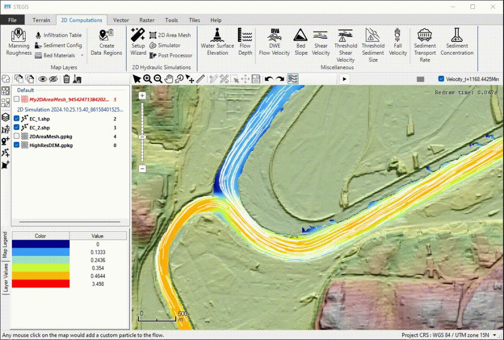
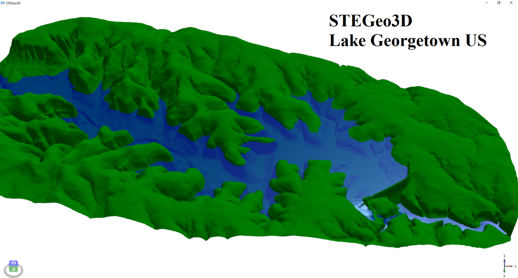
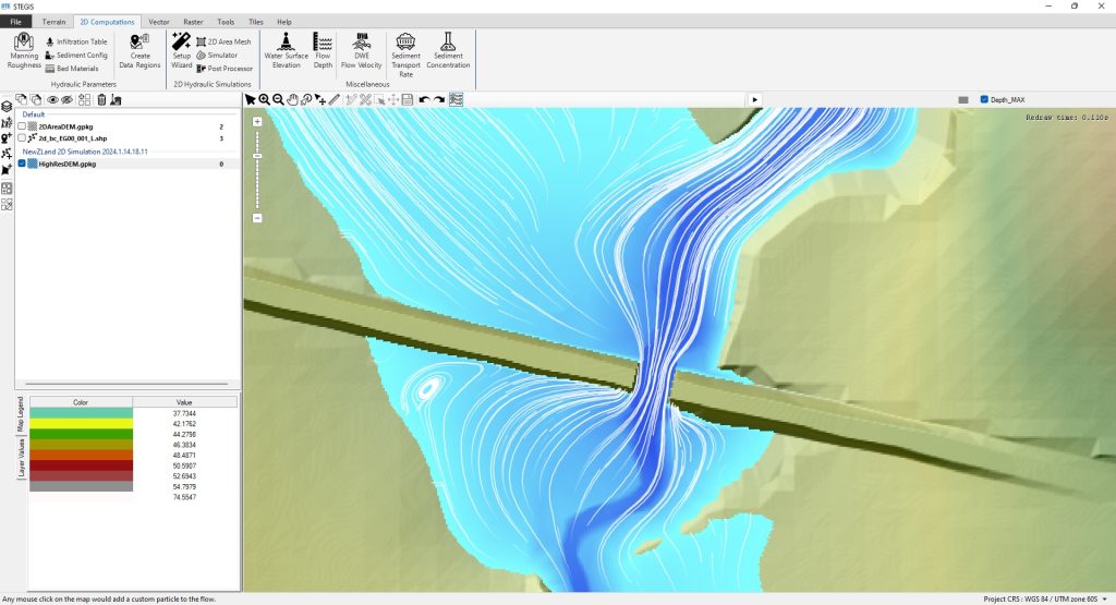
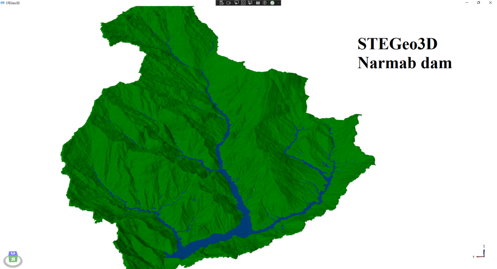
STEGIS
STEGIS streamlines GIS operations for terrain modification, flood and sediment modeling. With STEGIS, users can easily analyze and prepare data like topography and landcover for simulations. STEGIS also supports hydrological analysis, water accumulations, and watershed delineation, offering a complete solution for modeling.

2D Flood Modeling
STE simplifies 2D flood and sediment modeling, ensuring effortless operation without compromising accuracy. With advanced algorithms, STE delivers lightning-fast flood simulations on CPU, while results are easily analyzed in STEGIS and any other GIS environment.