One of the biggest challenges in flood modeling is predicting inundation caused by high-intensity precipitation — when rainfall itself drives the flood.
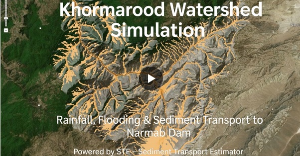
To test STE’s rain-on-grid simulation capabilities, I modeled the March–April 2019 Golestan Flood (Iran) — a devastating event where intense rainfall over the upstream catchments and the province itself led to widespread inundation downstream.
☔ Data & Setup:
• Precipitation: Gridded-Precipitation Rasters IMERG v07 satellite rainfall data (15 Mar – 30 Apr 2019, 45 days)
• Topography: Copernicus DEM (30 m)
• Land Cover: ESA Land Cover dataset
• Soil & Infiltration: Hydrologic Soil Group + SCS Curve Number method
• Domain Area: 17,100 km²
• Grid Size: 500 m
• Solver: STE’s fast SWE-LIA (CPU-optimized)
• Hardware: Intel i7-14700K
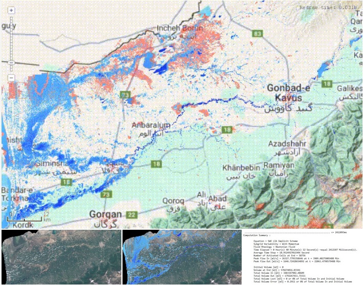
⚙️ Results:
The 45-day, large-scale simulation was completed in just 40 minutes — a near-real-time performance — with remarkably good accuracy, especially considering that only satellite-based data were used and no local calibration was applied.
This experiment demonstrates that rain-on-grid flood simulations in STE are more reliable and efficient than expected, providing valuable accuracy even under data-scarce conditions.
🚨 The implications are clear: using forecasted precipitation data, STE can simulate upcoming flood scenarios fast enough to support emergency decision-making and real-time flood zoning.
📸 In the images attached, you’ll see:
1- Water depth animation recorded over the 45 days of simulation
2- RGB Sentinel-2 image (captured 2 April 2019) showing the observed downstream inundation
3- Simulated water depth map from the same date (2 April 2019), overlaid on the Sentinel-2 RGB image
4- A summary of the simulation setup and performance
🚀 STE’s vision is to make flood simulation fast, scalable, and practical for large scale applications — empowering emergency managers and researchers to act with speed and confidence.